ROUTES: Madrid - Pamplona (572 km)
Distance: 572 km
Date prepared:
0000-00-00
Date updated:
0000-00-00
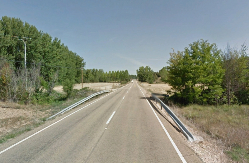
A pretty leg on the journey that will bring us from Madrid to the Navarrese capital, over 572 kilometres that will takes us into the provinces of Madrid, Guadalajara, Soria, Burgos, La Rioja and Navarra.
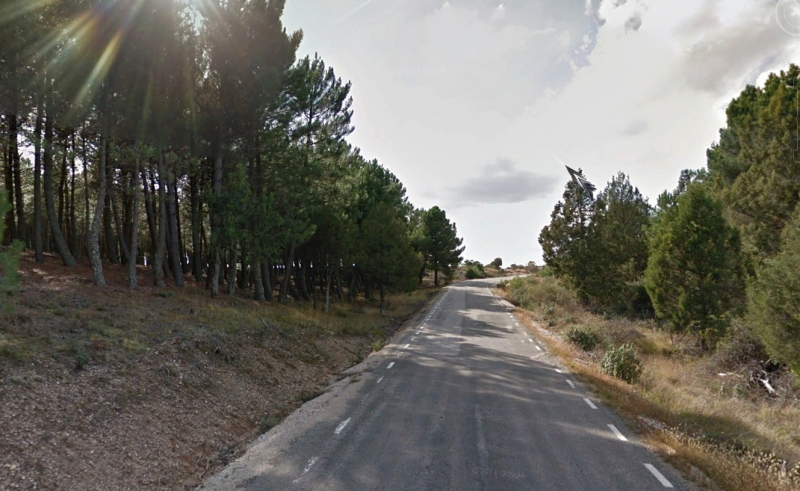
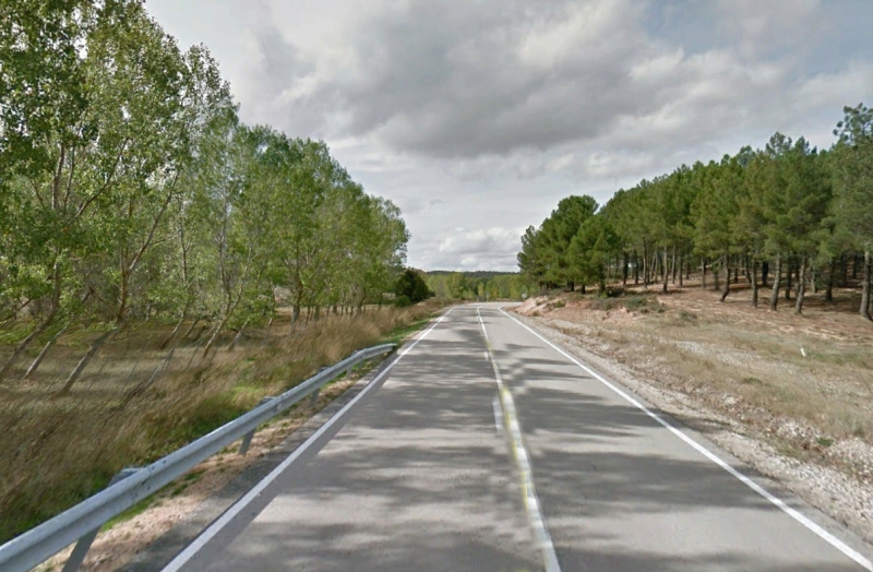
572 km. (36 sections)
Motorways and highways: 37 km
Local / Secondary: 535 km
section1
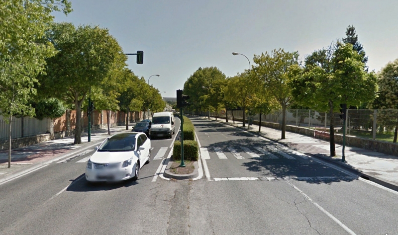
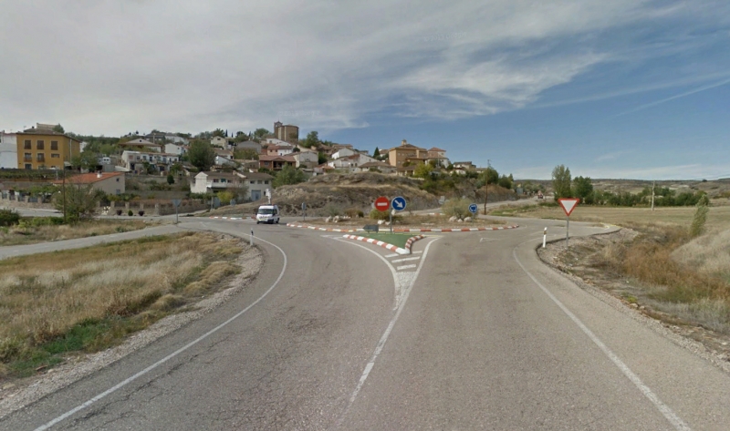
MADRID - CM-1003 (73 km)
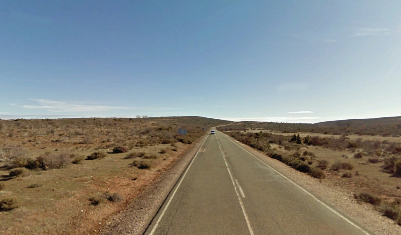
We have decided to start this rout at the symbolic milepoint 0, so we start at the Puerta del Sol and join the M-30 as soon as we can, and head for the A2: the highway to the north-east.
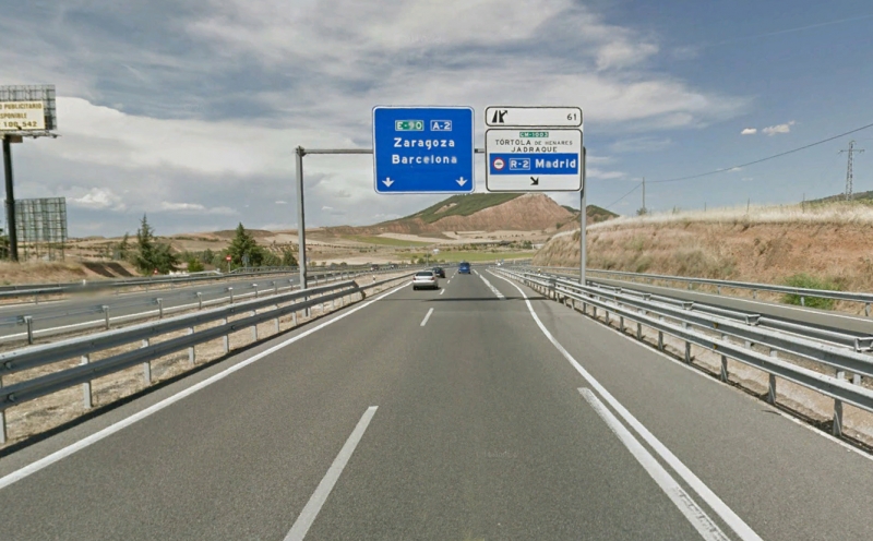
We will drive the first 74 km on this fast road, a good place to warm up our tires, until we reach Exit 61, where we leave for Tórtola de Henares and Jadraque.
section2
CM-1003 - Hita (25 km)
From here on and until we're halfway through this route, we will be driving uphill until we reach an altitude of 1600 m. We are now driving on the CM-1003, and will stay on it for 25 km.
We drive past the towns of Tórtola de Henares and Torre de Burgo, and turn left at Hita turning north, just after the Hostal Restaurante La Posada de Rosa.
section3
Hita - CM-101 (8 km)
We start on a stretch of 8 km of open, zigzagging curves on a narrow road that allous us to see the northern mountains in the background.
We leave Copernal to one side and go through Espinosa de Henares until, on leaving this town, we go over a railroad crossing and change roads by turning left towards Fuencemillán.
section4
CM-101 - Fuencemillán (3 km)
We reach Fuencemillán after driving on the CM-101 for just 3 km.
section5
Fuencemillán - Hiendelaencina (25 km)
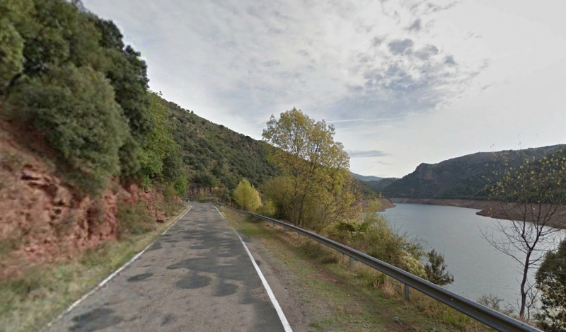
Leaving Fuencemillán behind us, we join the CM-1001 towards Cogolludo, which we reach after driving a few kms.
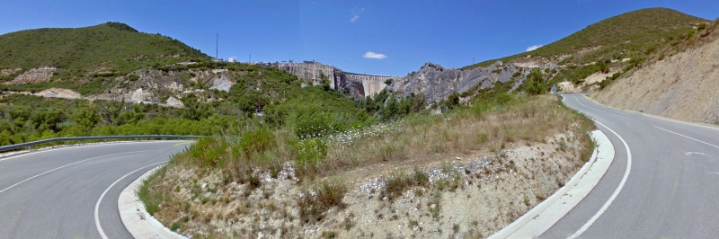
Soon after that we find the Alcorlo water reserve, which we drive along for about 5 km, and at the 136th kilometric point of our route, we turn left and drive into Hiendelaencina.
section6
Hiendelaencina - GU-213 (28 km)
We have now covered one third of the way to Covarrubias, and find ourselves at an altitude of 1100 m, and start driving upwards until we reach an altitude of nearly 1500, driving through trees on both sides of the road, until we change roads without even noticing it, between the towns of Condemios de Arriba and Condemios de Abajo.
section7
GU-213 - CM-110 (9 km)
We drive on for 9 km on the GU-213 until we reach a stop sign where we turn right to join the CM-110.
section8
CM-110 - GU-145 (3 km)
We will stay on the CM-110 for only 3 km, and then turn left towards Hijes and Miedes de Atienza, towns which we will also leave behind us.
section9
GU-145 - Miedes de Atienza (7 km)
We will drive onto Miedes de Atienza on a nearly straight road with poor surface, and will then turn left again.
section10
Miedes de Atienza - SO-160 (5 km)
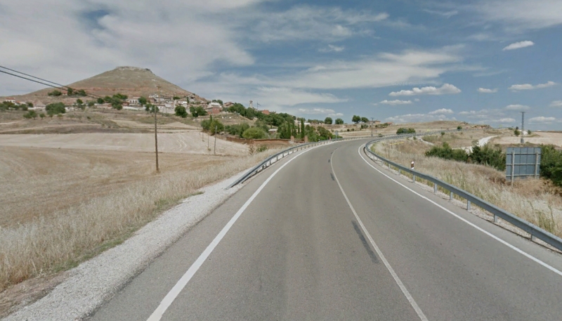
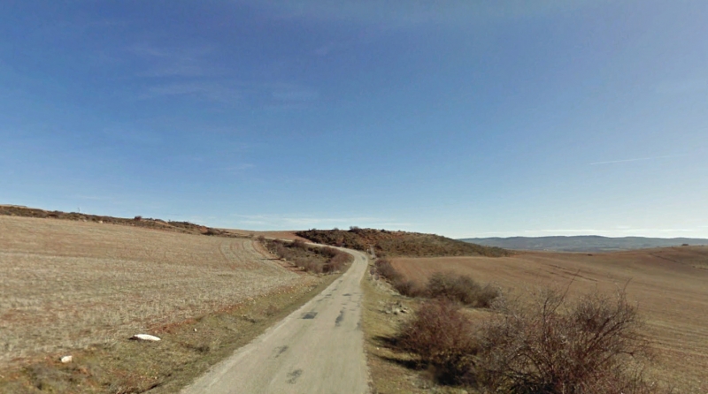
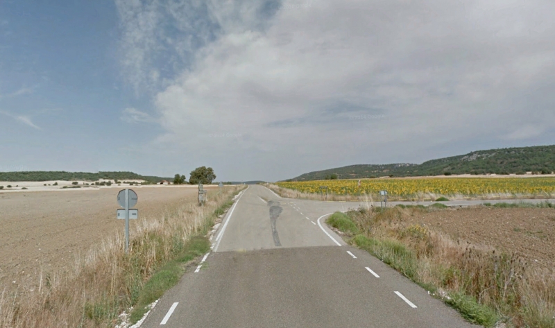
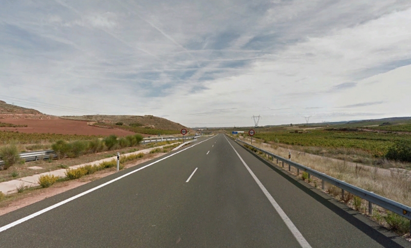
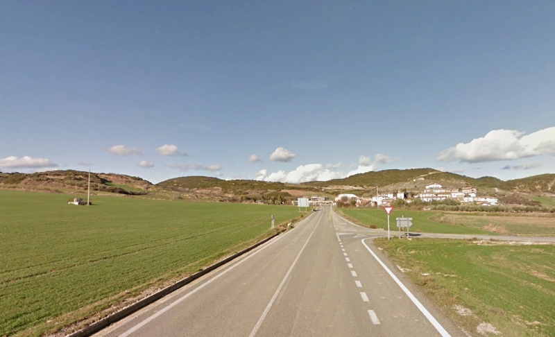
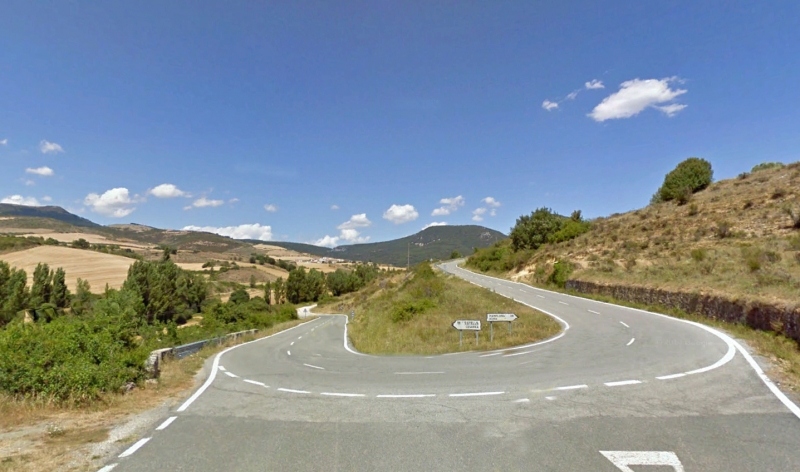
We continue heading north for the last 5 km of road that belongs to the province of Guadalajara. Then, when we have covered 187 km of our route, we drive into the province of Soria on a narrow road, on a nice bendy stretch of road from which we can get some glimpses of the far-off mountains.
section11
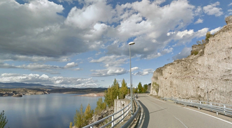
SO-160 - El Burgo de Osma (41 km)
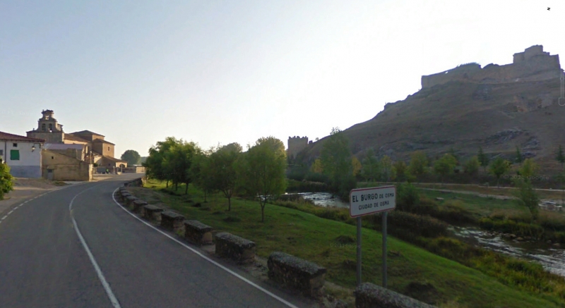
We drive into Soria on the SO-160 and stay on it for the next 40 km. This road will take us to Burgo de Osma, having passed through Retortillo de Soria, Sauquillo de Paredes, Nograles and Recuerda, on a nice wide road that will cross the Duero river twice.
We suggest stopping for a top-up and to visit the town's cathedral and other landmarks, and to taste the cuisine of that province.
section12
El Burgo de Osma - SO-P-5119 (15 km)
We drive out of the beaoutiful Burgo de Osma heading north.
After driving straight for 15 km, we enter the Cañón del Río Lobos, and leave that behind. A few metres before Ucero, we turn left, towards Nafria de Ucero.
section13
SO-P-5119 - Nafria de Ucero (4 km)
We leave the Cañón del río de Lobos, an interesting place to visit at some other time, after 2 km.
We then follow its contours for another 2 km until we reach a crossroads where we turn right towards Nafría de Ucero, the next town we will be driving through.
section14
Nafria de Ucero - Sta María de las Hoyas (7 km)
We drive on a nameless road for 7 km, when we will reach Santa María de las Hoyas, where the road improves as we join the SO-934.
section15
Sta María de las Hoyas - Muñecas (2 km)
We drive on that road towards Muñecas, which we will reach after driving for only 2 km.
section16
Muñecas - Huerta del Rey (18 km)
Past Muñecas, we head towards Huerta del Rey on the SO-P-5111, which will soon turn into the BU-V-9421. We will know because of the change in the tarmac, which marks the change into the other province.
We continue on this road for 6 km until we reach Huerta del Rey, where we change roads again.
section17
Huerta del Rey - BU-910 (13 km)
We will drive on the BU-921, a narrow road that is straight and has a good surface, for the next 13 km. We drive through Arauzo de Miel and continue until we find a crossroads where we turn right, towards Santo Domingo de Silos.
section18
BU-910 - Sto. Domingo de Silos (16 km)
30 km before Covarrubias, and having covered 300 km, we head for Santo Domingo de Silos, a nice town where to make our last stop, and admire its impressive cloisters, in the monastery.
Soon after that, we touch La Yecla, a protected natural area, which we drive into on our way to Pamplona and the next leg of our route.
section19
Sto. Domingo de Silos - Covarrubias (18 km)
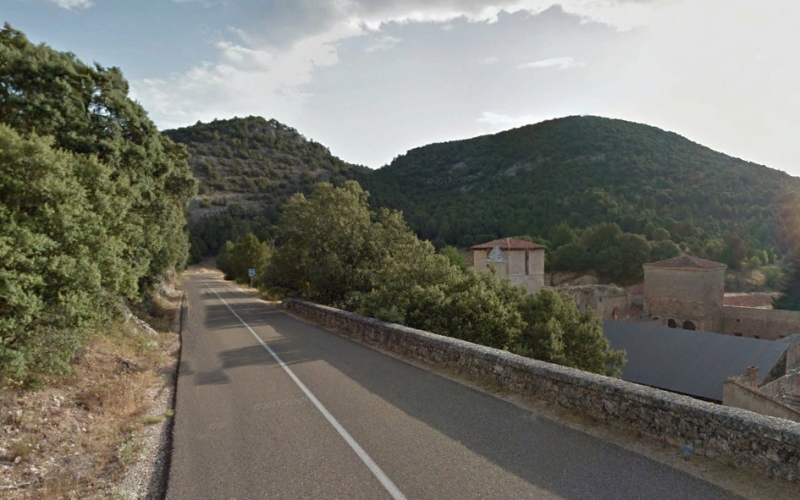
We take on this last stretch (for today) as we head from Santo Domingo de Silos to Covarrubias, a lovely medieval town that's well worth a stop, either for a while or to spend the night in one of its excellent hotels. Enjoy the opportunity for a night stroll around the beautiful old town.
section20
Covarrubias - Hortigüela (16 km)
After having breakfast in Cova rrubias, we drive out of this town and into the La Yecla natural park, thoug a ravine modelled out of limestone, on the BU-905 road.
After just 8 km, we come up tho the first surprise: the ruins of the San Pedro de Arlanza Monastery, where you can stop and enjoy the peace as you are transported back in time to the times when monks lived there.
We leave this Benedictine jewel and, a few kilometres on, we reach Hortigüela, where we leave this road and join the N-234 towards Soria.
section21
Hortigüela - Barbadillo del mercado (6 km)
We can make the most of the lack of curves and the good tarmac on this national road to step on it and warm up the tyres. We won't be back onto national roads until near the end of this bendy route.
After just 7 km we reach Barbadillo del Mercado, where we turn left onto secondary roads.
section22
Barbadillo del mercado - BU-825 (15 km)
The next 15 km, all uphill, aro on impeccable tarmac with a notable lack of traffic and well cambered curves. But beware the cattle that you can meet on this stretch, and which will be present for most of this route, so keep your eyes on the road.
We drive past Pinilla de los Moros, Vizcainos, (its Romanic church is worth a visit) and soon after that, we join the BU-825 towards Nájera after making a stop.
section23
BU-825 - LR-113 (16 km)
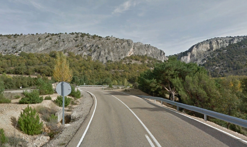
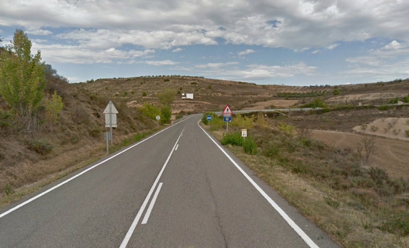
The surface worsens on entering Sierra de la Demanda, but if we pay attention, it's not a difficult road, as there are no big holes or bumps on the road.
As a curiosity, we can say that this area takes its name (Demanda meaning claim, lawsuit) due to ancient lawsuits for the use of the pastureland between Monterrubio and Barbadillo, which started in the XVI Century and ended in the XIX Century.
The scenery is closed, with lots of rocky formations, and the fact that we run alongside the Pedroso river makes this stretch a zigzagging one.
We drive through the narrow Sierra and enter the province of La Rioja, with a corresponding change in road name.
section24
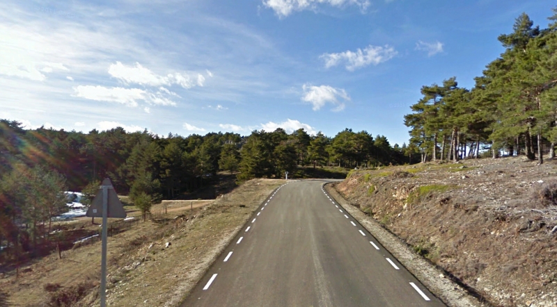
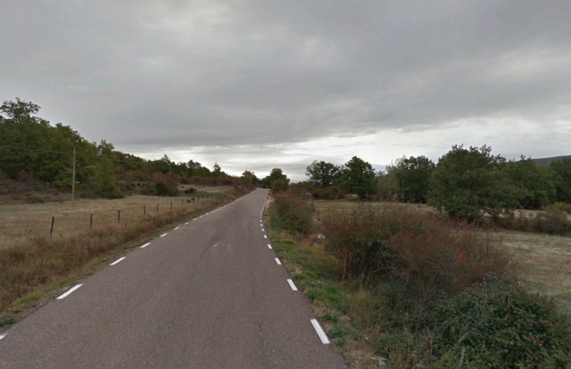
LR-113 - Najera (64 km)
We are no on the most enjoyable stretch of this route. We will divide its 62 km in two based on the state of the surface of this road.
The first 25 km are on a mediocre surface, as before, but in exchange we will be driving along the Mansilla water reserve, and as we know: Follow the water, follow the curves and beautiful scenery.
We leave behind the towns of Canales de la Sierra and Villavelayo to start running alongside this water reserve. We drive past Tabladas and soon reach the "Venta de Goyo", where we can stop to rest, top up, and have a coffe, or try out their marvellous red beans, a local delicacy.
The next 25 km are the best. This stretch has been improved, widened and re-surfaced, and some dangerous bends have been eliminated. All of this and the fact that it runs alongside the Najerilla river make it a lovely zigzagging stretch of road that tilt you from side to side.
We reach Anguiano and the curves disappear, so the next 15 km until we reach Nájera are pretty straight.
section25
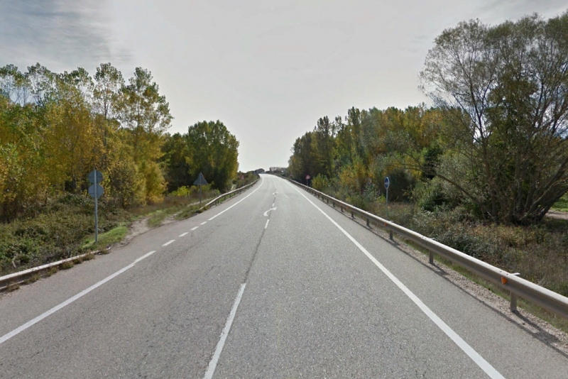
Najera - Logroño (33 km)
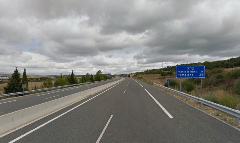
We leave Nájera on the A-12, and, making the most of the double lane and wide rlanes, we drive over these 15 km in around 15 minutes, until we reach the outskirts of Logroño, where we join the LO-20.
This road is limited to 80 km per hour and has radars on it, so be careful. We must not forget that it is an alternative route to avoid entering Logroño and that these ringroads are limited to 80km/h.
Once around Logroño's south side, we join the N-111 tht would take us to Pamplona if we followed it to its end.
section26
Logroño - A-12 (38 km)
A few km after Logroño, we reach Viana, in the province of Navarra, a town well worth a visit, and continue towards Pamplona on a lovely bendy stretch with a great surface until we reach Sansol.
Turn your head a little and admire the beautiful octogonal Templar church that stands by Torres del Río, a small town beside Sansol.
Past this town, we continue straight to Los Arcos, where we can find the Circuito de Navarra.
We continue for a further 13 km on the N-111 until we reach Villa amyor de Monjardin, where we join another, faster, road.
section27
A-12 - NA-7320 (13 km)
We are now back on the A-12, to drive a bit faster as we go around Estella, another lovely Historical town that you can visit. If you decide to visit it and end up running late, we recommend that you retake the A-12 until you reach Pamplona 30 minutes later. Otherwise, we suggest staying on it for only 10 km more, and leave it on Exit 34.
section28
NA-7320 - NA-7175 (3 km)
Heading towards the Yerri valley, we drive for 2.5 km on the NA-7320 until, past the town of Lacan and before Alloz, we turn right towards Garisoain and the Alloz water reserve. Watch out as this signpost is only visible when you are coming from the other direction.
section29
NA-7175 - NA-7171 (1 km)
We go on for just one more km and turn again, towards the left, after stopping to join the NA-7171 to continue heading for Garisoain and the Alloz water reserve.
section30
NA-7171 - Lerate (5 km)
After 5 km on this bendy, well kept road with a couple of u-turn bends as it follows the contours of the water reserve, we reach Lerate, where we turn right at a stop sign that takes us towards Puente la Reina Gares.
If you have time and the weather is good, we suggest that you continue straight on at the stop sign and head for the camp site. A little further on there is a rest stop with access to the lake, where, once you have parked your bike safely, you can jump into the water to splash around befor you continue on your journey.
section31
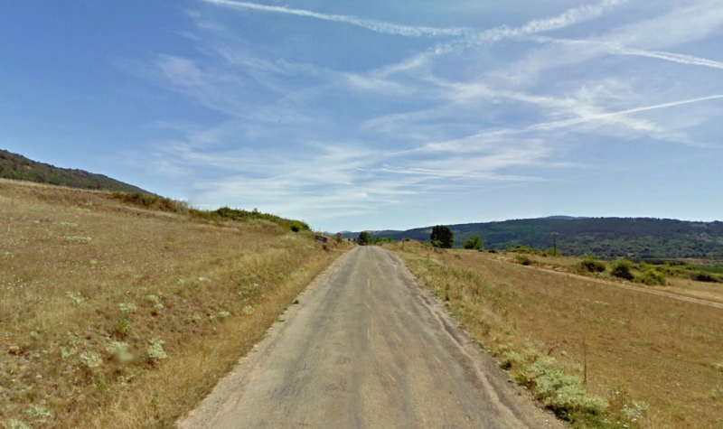
Lerate - NA-7049 (4 km)
Leaving behind the Alloz water reserve we head east, and reach Garisoan, situated at the 214th kilometer point of our route. The road is narrow but in very good condition. Two km on, we change roads and heading, towards the north, and the town of Muzqui.
section32
NA-7049 - NA-700 (8 km)
We lose sight of teh water reserve and drive over 8 bendy km along the Yerri valley, passing the towns of Musqui and Estenoz, until, al the 224th kilometre point of our route, we join the NA-700 at a yield sign towards Pamplona.
During this stretch of road we will be able to see the Echauri mountain chain in the background.
section33
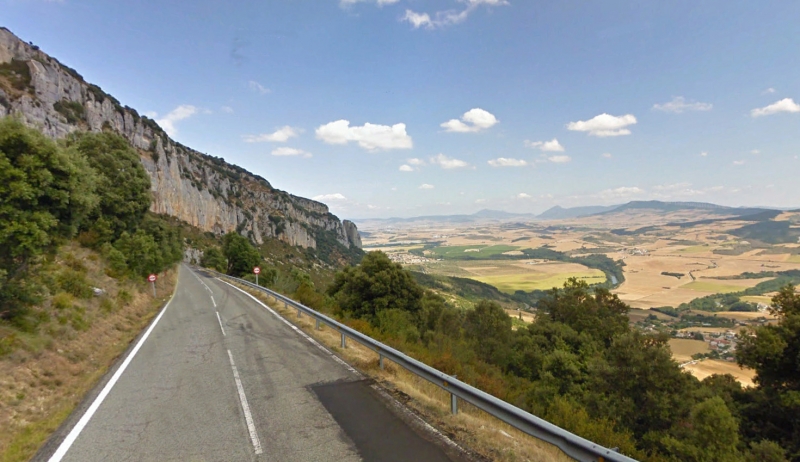
NA-700 - Echauri (16 km)
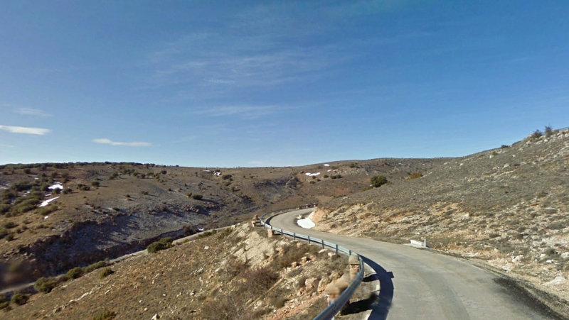
On the way to Pamplona we drive through Salinas de Oro and soon reach the high point of the Echauri mountain pass to start driving down a road with abundant curves and some fantastic views over Pamplona. Halfway down the mountain, there is a viewpoint from which we can get a great view of the area.
section34
Echauri - NA-7015 (2 km)
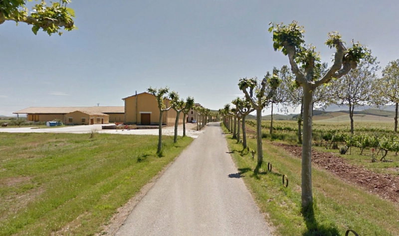
With Pamplona just about in sight, we leave Echauri on a nameless, well-kept narrow road that takes us to the Otazu winery, which we will reach driving through a line of trees on both sides of the road. Soon after that we will join the NA-7015.
section35
NA-7015 - Zizur Mayor (8 km)
We have now covered 242 km as we drive through Paternain, by Gazolas and reach Zizur Mayor, town which could be said to be part of the metropolitan area of Pamplona.
section36
Zizur Mayor - PAMPLONA (4 km)
And so, we reach our final destination: Pamplona. This is after covering 243 km of enjoyable curves, beautiful scenery and delicious gastronomy.